-
Trout Fishing in the Shenandoah National Park
Regular price $15.95 USDRegular price$15.95 USDSale price $15.95 USD -
Fly Fishing Techniques for Smallmouth Bass
Regular price $19.95 USDRegular price$19.95 USDSale price $19.95 USD -
Fly Fishing the Shenandoah River for Smallmouth Bass book
Regular price $17.95 USDRegular price$17.95 USDSale price $17.95 USD -
Trout Fishing in the Shenandoah National Park book with map
Regular price $28.00 USDRegular price$30.90 USDSale price $28.00 USDSale -
 Sold out
His Blessing Through Angling
Regular price $37.95 USDRegular price -
Pocketguide to Pennsylvania Hatches
Regular price $22.95 USDRegular price -
The South Branch and Upper Potomac Rivers Guide
Regular price $16.95 USDRegular price$16.95 USDSale price $16.95 USD -
Trout Streams of Virginia 4th Edition
Regular price $26.95 USDRegular price -
Trail Guide to Great Eastern Trail
Regular price $16.00 USDRegular price -
Trout Streams and Hatches of Pennsylvania
Regular price $31.95 USDRegular price -
 Sold out
Trout Streams of Southern Appalachia
Regular price $21.95 USDRegular price -
The Orvis Fly-Fishing Guide (softcover)
Regular price $29.95 USDRegular price -
Basic Fly Tying
Regular price $24.95 USDRegular price$24.95 USDSale price $24.95 USD -
Handbook of Hatches
Regular price $24.95 USDRegular price$24.95 USDSale price $24.95 USD -
Streamside Guide to Naturals and their Imitations
Regular price $15.95 USDRegular price$15.95 USDSale price $15.95 USDSold out -
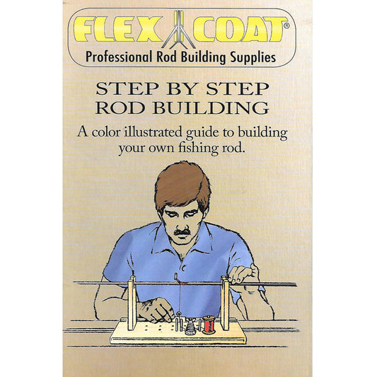
Flex Coat Step by Step Rod Building Book
Regular price $11.65 USDRegular price -
The Master's Fly Box
Regular price $29.95 USDRegular price$29.95 USDSale price $29.95 USD -
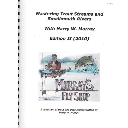
Mastering Trout Streams and Smallmouth Rivers Edition II
Regular price $21.95 USDRegular price$21.95 USDSale price $21.95 USD -
Mastering Trout Streams and Smallmouth Rivers Edition IV
Regular price $21.95 USDRegular price$21.95 USDSale price $21.95 USD -
 Sold out
Guide to Great North Mountain Trails
Regular price $16.00 USDRegular price -
Angling Tips from the Master
Regular price From $18.95 USDRegular price$18.95 USDSale price From $18.95 USD -
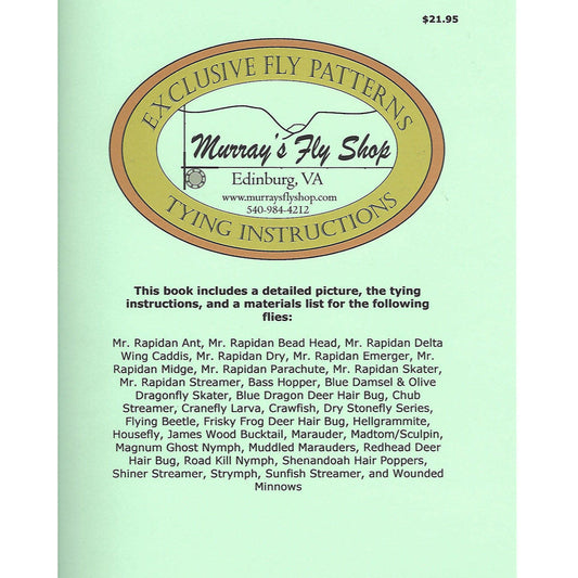
Exclusive Fly Patterns Tying Instructions
Regular price From $21.95 USDRegular price$21.95 USDSale price From $21.95 USD -
Exclusive Fly Patterns New Flies for 2007
Regular price From $10.95 USDRegular price$10.95 USDSale price From $10.95 USD -
Exclusive Fly Patterns New Flies for 2012 - Murray's Fly Shop
Regular price From $10.95 USDRegular price$10.95 USDSale price From $10.95 USD


Collection: Fishing Books, Maps & DVDs
Explore our collection of fishing books, maps, and DVDs to enhance your angling knowledge and experience. Discover valuable insights, tips, and techniques to improve your fishing adventures. Dive into our selection today!
