Appalachian Trail Maps (G, H)- Massanutten Mountain
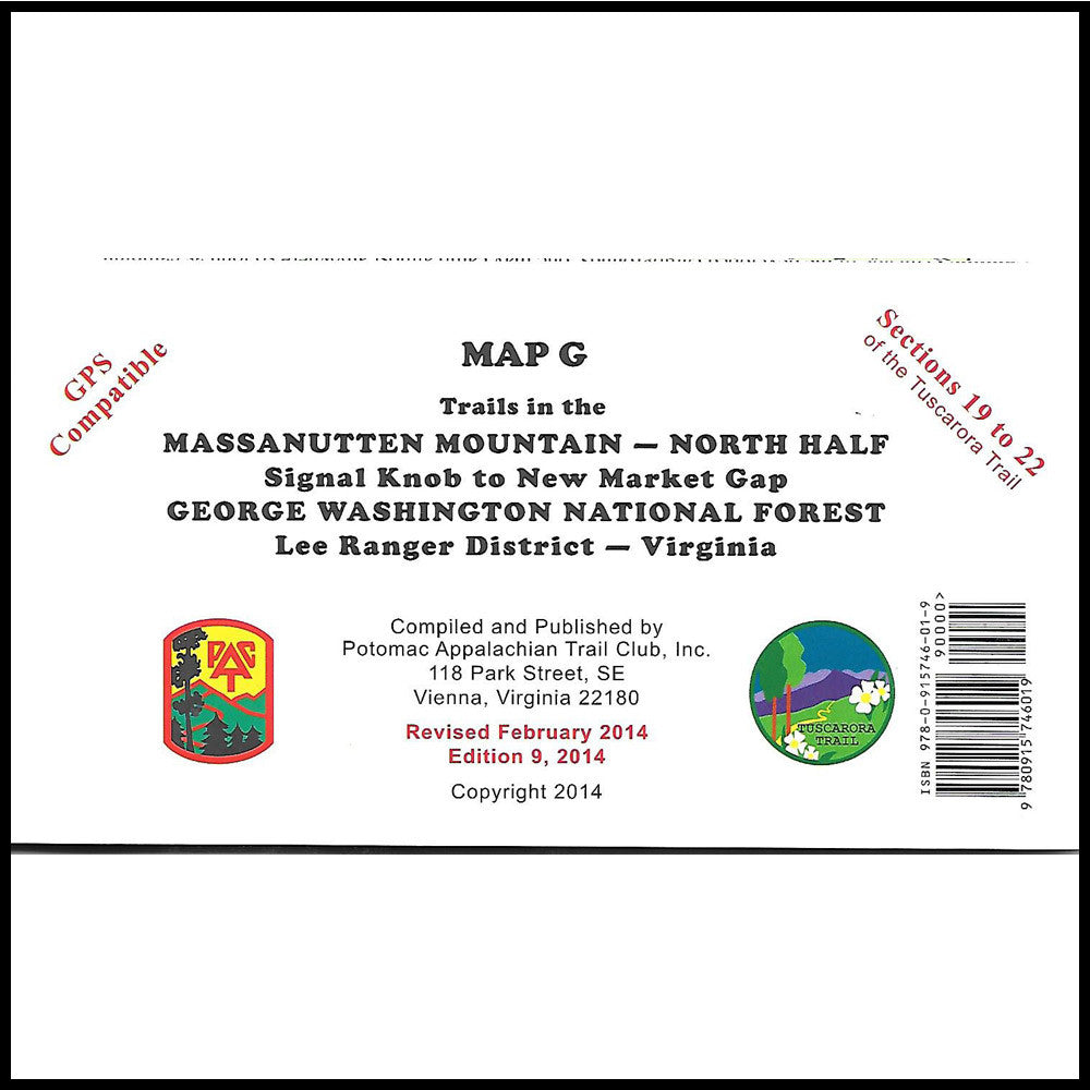
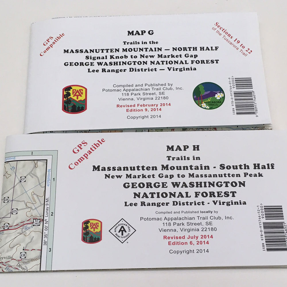
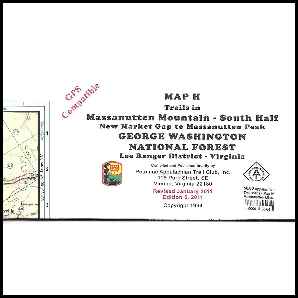
Trail Maps for the Massanutten Mountain both north and south half--George Washington National Forest Lee Ranger District--Virginia
Map G Massanutten Mountain (North Half) covers the area from Signal Knob to New Market Gap. It includes the North and South Fork Shenandoah River from Front Royal, Virginia upstream to New Market, Virginia and Luray, Virginia. Covers Passage Creek including Delayed Harvest Section, Elizabeth Furnace Recreation Area, Massanutten Trail around Fort Valley and Woodstock Tower. Printed on water-resistant, tear resistant stock. Scale 1:62,400. Contour interval 100 feet.
Map H Massanutten Mountain (South Half) covers the area from the New Market Gap (Route 211) south to Massanutten Peak (Route 33). Including the South Fork of the Shenandoah River from Route 211/ 340 southward toward Shenandoah, Virginia and I-81 from New Market, Virginia to Harrisonburg, Virginia. George Washington National Forest on south half of Massanutten Mountains with about 28 miles of trails. Covers Boone Run, Cub Run and Pitt Spring. Printed on water-resistant, tear-resistant stock. Scale 1:63,360. Contour interval 100 feet. This map is GPS compatible due to portrayal of UTM grid lines on the NAD-83 datu
